

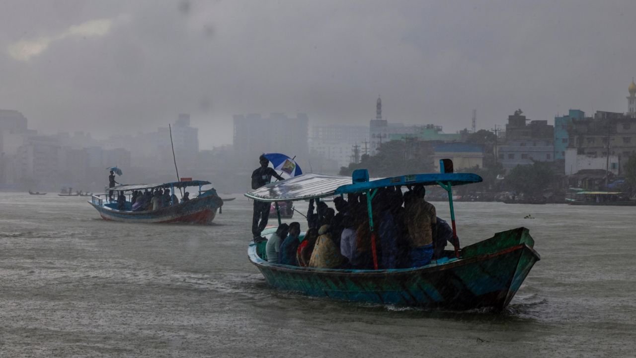



The monsoon depression over the Northwest Bay and adjoining Odisha–West Bengal coasts has intensified into a deep depression.
It is expected to move north‑northwest and cross the West Bengal–north Odisha coasts by Monday evening.
According to a special Met Office bulletin at 6am on Monday, it was located near latitude 21.2°N and longitude 88.1°E, about 425 km west‑southwest of Chattogram, 430 km west of Cox’s Bazar, 220 km west‑southwest of Mongla, and 260 km west‑southwest of Payra.

Under its influence, squally weather may affect Bangladesh’s maritime ports, the North Bay, and adjoining coastal areas. Maximum sustained wind speed within 48 km of the centre is about 50 kph, rising to 60 kph in gusts. The sea will remain rough near the depression.
Maritime ports of Chattogram, Cox’s Bazar, Mongla, and Payra have been advised to hoist local cautionary signal No. 3.




All fishing boats and trawlers over the North Bay have been asked to remain in shelter until further notice.
Light rain may occur in parts of Dhaka and surrounding areas, the Met Office said. At the same time, six inland river ports have been asked to hoist cautionary signal No. 1.
Meanwhile, in a separate forecast for inland river ports from 5am to 1pm, it was said that Khulna, Barishal, Patuakhali, Noakhali, Cumilla, Chattogram, Cox’s Bazar, and Sylhet regions may experience temporary rain or thundershowers with gusty or squally winds at 45–60 kph from the south or southeast.
Dhaka’s sky may remain partly cloudy with chances of light rain while winds may blow from the south or southeast at 10–15 kph. Daytime temperature is expected to remain nearly unchanged.
At 6am on Monday, Dhaka recorded 27.7°C with 89 per cent humidity. On Sunday, the capital’s maximum temperature was 35.5°C.