

A two-kilometre border dispute at Muhuri Char in Feni has emerged as the final hurdle to completing the implementation of the Bangladesh-India Land Boundary Agreement (LBA), despite the settlement of decades-old disputes over enclaves and adverse possessions.
The disputed stretch is part of the 6.5 kilometres of previously undemarcated border between the two countries. Bangladesh maintains that the Muhuri Char boundary was settled through the joint process under the 1974 LBA and the 2011 Protocol, with both sides signing an index map in 2012.
India, however, later claimed that the Muhuri Char index map had been signed mistakenly and proposed signing it again.
Bangladesh rejected the proposal, saying the boundary had already been settled and there was no scope to reopen the matter.
The disagreement has stalled the full implementation of the LBA, signed in 1974 to resolve three long-standing issues between the two countries – exchange of enclaves, settlement of adverse possessions and demarcation of the remaining unresolved boundaries.
After decades of negotiations, Bangladesh and India signed the 2011 Protocol to implement the agreement. Following India’s ratification of the LBA in 2015, the two countries completed the exchange of enclaves and resolved most adverse-possession disputes.
However, three undemarcated stretches remain unresolved.
Bangladesh and India share a 4,156-kilometre land border, divided into 1,145 strip maps. Officials familiar with the matter said the two countries have signed 1,144 maps, while India has not agreed to sign the remaining one.

The three unresolved stretches are around two kilometres at Muhuri Char in Feni, three kilometres at Lathitila in Sylhet and 1.5 kilometres at Daikhata in Panchagarh.
Following joint surveys, India accepted the proposed demarcations at Lathitila and Daikhata but raised objections over Muhuri Char.
How the dispute resurfaced
The two countries conducted detailed surveys at Muhuri Char, taking into account physical measurements and the area’s political sensitivity. Following the process, they signed an index map in December 2012.
Under joint supervision, 44 boundary pillars were installed in the area in 2014.
However, India raised the issue again at a joint meeting of the countries’ land survey authorities in 2015.
New Delhi later brought the matter to meetings of the Joint Boundary Working Group, arguing that the Muhuri Char index map had been signed inadvertently and proposing that it be signed again.




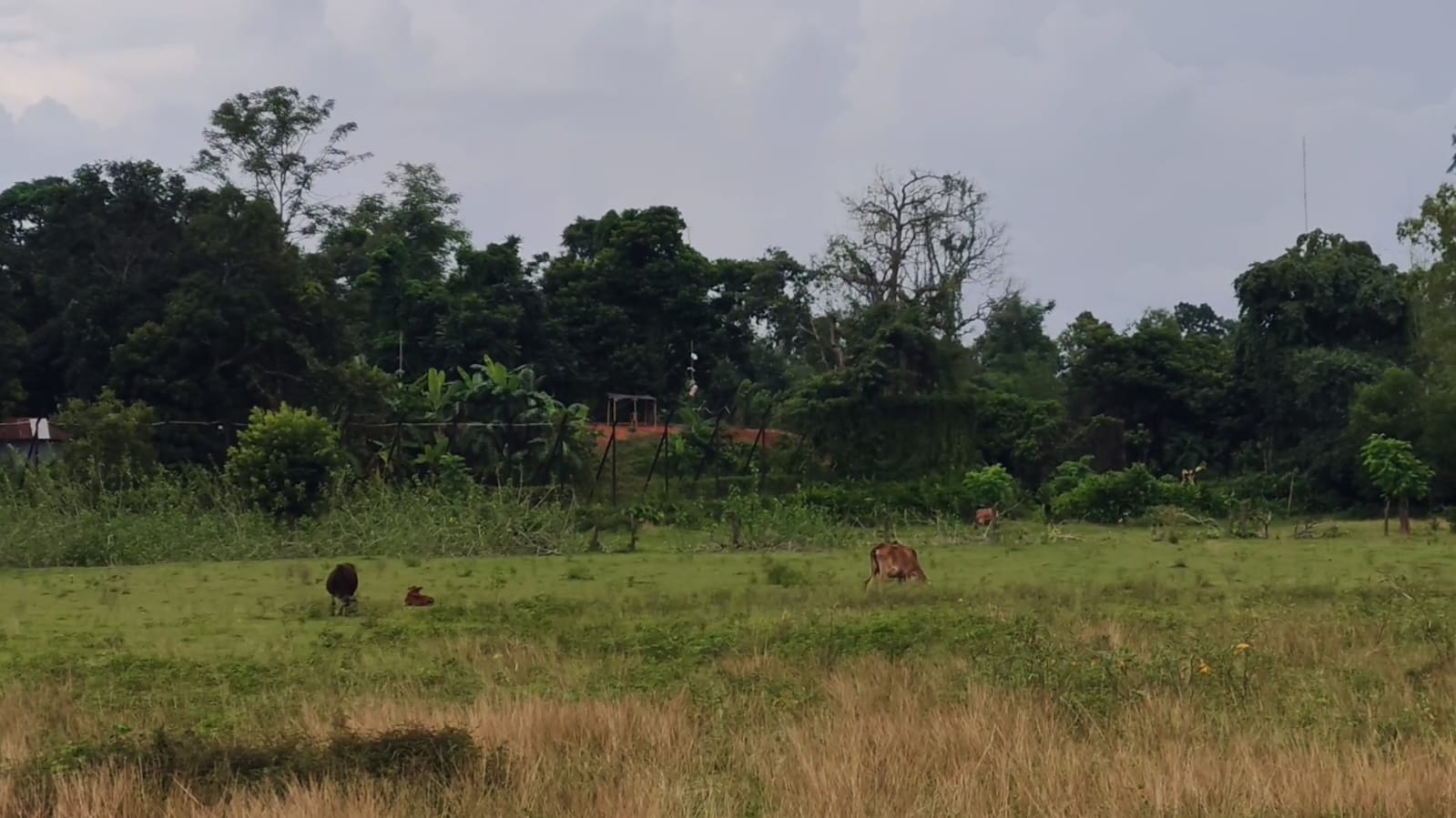
Bangladesh rejected the proposal, maintaining that the process had been completed in line with the 1974 LBA and the 2011 Protocol.
Dhaka argues there is no legal or procedural basis to alter a boundary settlement reached through the established bilateral mechanism.
As the issue could not be resolved through the Joint Boundary Working Group, it remains pending at the bilateral level.
The disputed land
Government and media documents have cited the area of Muhuri Char as 92.14 acres.
A report related to the 2011 Protocol stated that Bangladesh would receive 71.94 acres, while 20.20 acres would go to India.
As part of the broader settlement process, survey authorities from both countries conducted a joint survey of the area from 15 to 18 January 2014.
However, local sources provide a different picture of current possession.
According to one source, Bangladeshis currently possess around 31.18 acres, Indians control around eight acres, while possession of the remaining 52.96 acres remains unresolved.
The conflicting accounts over ownership and possession have added another layer of complexity to the dispute.
Landowners caught in limbo
Local landowners remain among the biggest victims of the unresolved dispute.
They say they have documents proving ownership of land in Muhuri Char but cannot access or cultivate their property because of restrictions along the border.
In effect, they have ownership on paper but cannot exercise possession on the ground.
The family of Fakir Nur Mostafa of North Kautli village owns around 10 acres of land in Muhuri Char. The family says it has been unable to access much of the property for decades due to objections from India’s Border Security Force (BSF).
“Most of our brothers’ land is located in Muhuri Char. We have not been able to cultivate those lands for 30 to 40 years,” Nur Mostafa said.
Local resident Daudul Islam Fakir said residents have CS and BS records proving their ownership but remain unable to enter their own land.
“Despite having CS and BS records, we cannot go to our own land. Because of India’s unilateral decision, we cannot take possession of the property,” he said.
He recalled a fatal incident in 1989 when Bangladeshi farmer Nurul Alam was shot dead by BSF while collecting grass from his own land.
Residents said the incident discouraged Bangladeshi farmers from entering the area and made cultivation increasingly difficult.
A border dispute with human costs
The Muhuri Char dispute is more than a technical disagreement over boundary demarcation.
For Bangladesh, the government position is that the boundary was settled through bilateral agreements. For local landowners, however, the unresolved issue means they remain unable to use land they claim to legally own.
With 1,144 of 1,145 strip maps already signed, the remaining disagreement over Muhuri Char has become the final major obstacle to completing the long-delayed implementation of the Bangladesh-India Land Boundary Agreement.