





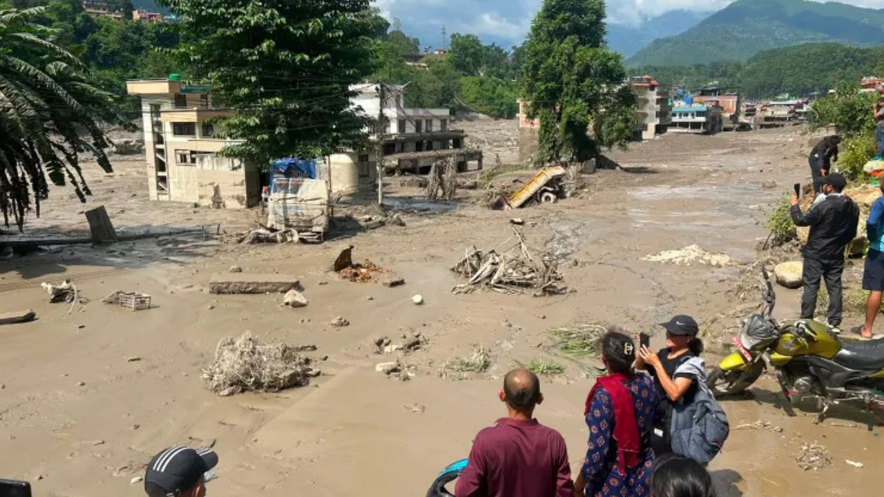
A glacial collapse caused seismic activity and “catastrophic” downstream impacts in Nepal and Tibet, the US Geological Survey said Thursday.
The agency said seismic activity initially reported as an earthquake “was instead a glacial collapse and debris flow” that led to severe flooding downstream, reports AFP.
At least 160 people were killed as torrents of water and debris swept across both sides of the Nepal–Tibet border, with hundreds more reported missing.
The cause was unclear in the immediate aftermath early Wednesday. Nepal’s Foreign Minister Shishir Khanal had said an earthquake likely triggered a landslide that blocked a river, sending water surging downstream. Other theories included a glacial lake outburst flood or an ice avalanche.
USGS said, “A magnitude 5.2 seismic event occurred near the border between Nepal and China on 26 August at 8:37am local time.”
“This event was initially reported as a magnitude 4.4 earthquake. Additional analysis of nearby seismic stations, long period seismic waves, and satellite imagery led to the determination that the seismic event was instead a glacial collapse and debris flow, and that no earthquake had occurred.”


